Rapid Geospatial Data Discovery
Streamline your projects with efficient data access from multiple sources
- Data Sources
- 1,890
- Datasets/Layers
- 750,000
- Get Results
- <1 second
Geospatial Data. No Hassle. No Cost.
Fast, Free Access to Public GIS Data
Our Geospatial Data Search platform provides comprehensive tools to help you efficiently find and download geospatial data.
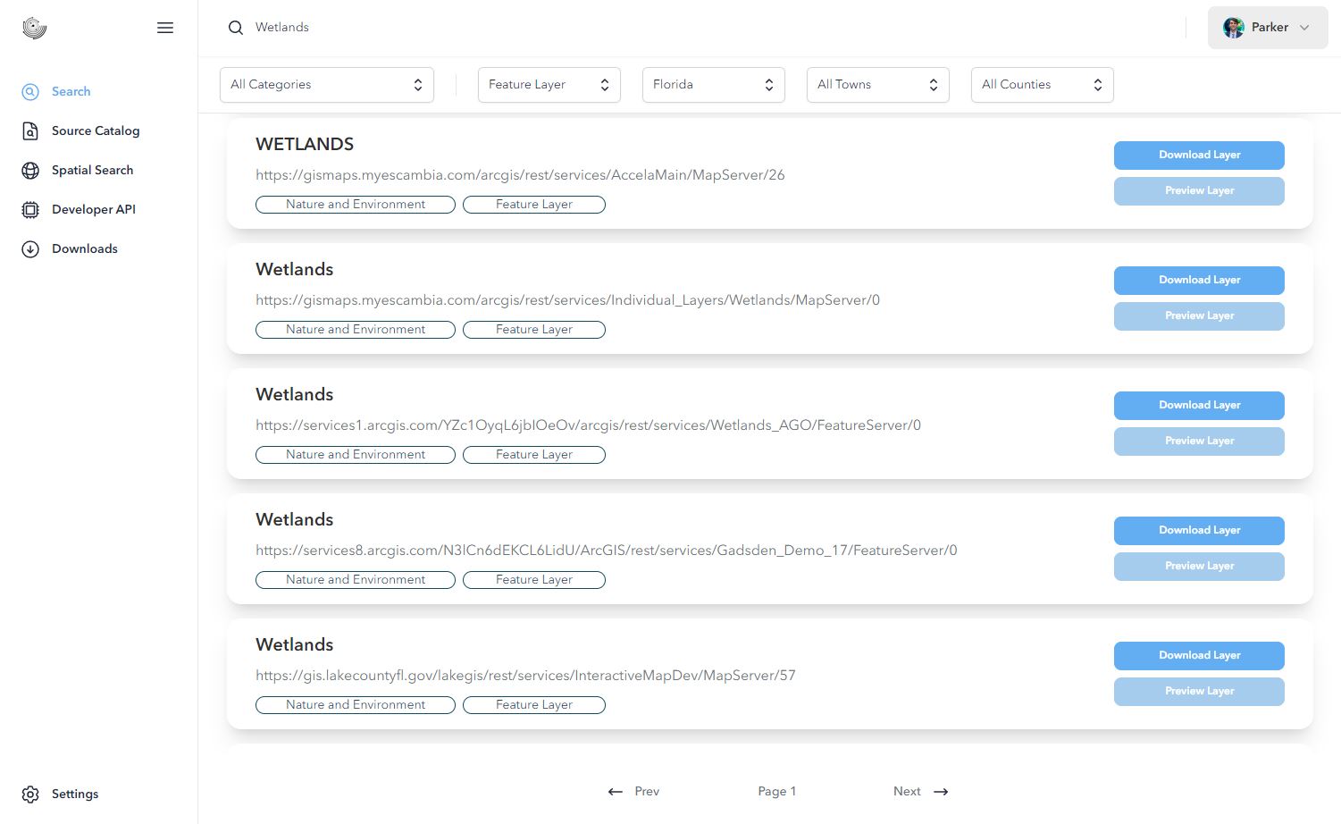
- Data Source Catalog
- Search the 1,890 data sources in source catalog.
- Search Filters
- Filter by category, layer type, state, county, and/or city.
- Instant Previews
- One button click to instantly start previewing the data. Click on features to view metadata.
- Data Downloads
- Download feature layers in CSV, GeoJSON, SHP, GPKG, or KML formats
5 out of 5 stars
“Galileo’s value proposition is amazing. Now, I spend my time analyzing data and building my app instead of gathering data. It’s a game-changer.”

Automated GIS Data, Delivered Your Way
We believe your team should spend time using data, not chasing it. The right datasets delivered on time can unlock faster decisions and greater impact.
GISDATA.io Enterprise
GISDATA.io Enterprise automates the collection of datasets and delivers them on a weekly, monthly, or quarterly basis, directly into your own white-labeled data portal. No scraping, no waiting, no guesswork.
What’s included
- Automated dataset ingestion and timely delivery
- A private, branded data portal with full control
- Custom update schedules to match your workflow
- API access for seamless integration
- Dedicated onboarding, support, and service-level agreements
Frequently asked questions
Have a different question and can’t find the answer you’re looking for? Reach out to our support team by sending us an email and we’ll get back to you as soon as we can.
- Do you have a free version?
- Yes! You can search and get unlimited results, and apply filters to narrow down those results. You also have access to the data source catalog.
- I can't find what I am looking for, can you help?
- Yes! You can reach out to our team via the contact page on our website or in our community Discord and we will be glad to assist you.
- Why does the preview not work?
- Previews currently only work for Feature and Raster Layers. If the preview does not work for one of those types of layers then it could mean that layer has a lot of data and it needs to load, it does not have any data, or there is an error. The layers sometimes have zoom level rendering meaning you may have to zoom in before they will appear on the map.
- How can I use start using this data?
- Subscribe to the Starter Tier and download the data in a CSV, GeoJSON, SHP, GPKG, or KML, then you can bring it into your own software.
- Who owns this data?
- Most of the indexed data in this platform comes from open Federal, State, and Local United States Government Servers. International Sources are coming soon. GISDATA.io Galileo claims no ownership over any of the datasets, we just make them easier to find.
- I keep getting errors while using the application?
- We're sorry. Reach out to us via our contact form, email us, or join our community discord and someone from out team will help you out.